1. ArchDaily
  2. Urban Planning

Urban Planning: The Latest Architecture and News

Podium–Tower Urbanism in Southeast Asia: Density, Management, and the Disappearing Street

Subscriber Access | 

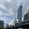
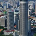
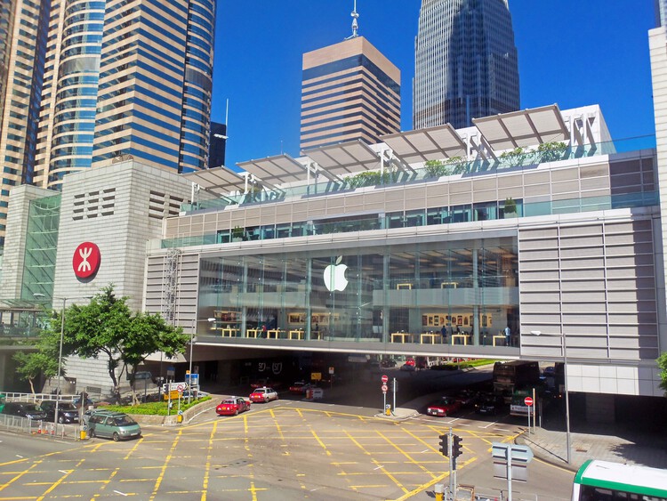
If elevated networks reveal a city that increasingly walks above the street, the podium–tower is the typology that often makes that condition feel inevitable. Across Southeast Asia, podium–tower projects have become one of the dominant languages of metropolitan growth: a system that concentrates housing, jobs, retail, and transit connections into highly legible and managed parcels. From an urban planning perspective, the model can be remarkably effective—absorbing congestion, formalizing circulation, and delivering density quickly. Yet as it spreads, the typology also raises a quieter question: what does it optimize for, and what does it erode—especially at the level of the street, where urban life is meant to be negotiated rather than curated?

At its simplest, the podium–tower is a hybrid structure consisting of a high-coverage, low-rise podium supporting one or more slender vertical towers. The podium typically carries the logistical and commercial weight of the development—retail, parking, loading, drop-offs, back-of-house services, and often amenity decks—while the tower stacks private programs above, whether residential, office, hotel, or mixed use. The promise is twofold: maximize urban density while maintaining a "human-scaled" street wall, and separate the messy logistics of city life from the quieter domain of living and work.
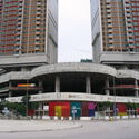
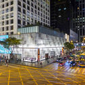
Podium–Tower Urbanism in Southeast Asia: Density, Management, and the Disappearing Street - 1 的图像 4Podium–Tower Urbanism in Southeast Asia: Density, Management, and the Disappearing Street - 2 的图像 4Podium–Tower Urbanism in Southeast Asia: Density, Management, and the Disappearing Street - 3 的图像 4Podium–Tower Urbanism in Southeast Asia: Density, Management, and the Disappearing Street - 4 的图像 4Podium–Tower Urbanism in Southeast Asia: Density, Management, and the Disappearing Street - More Images+ 14

El Pueblo de Los Angeles: The Spanish Origins of LA’s Urban Grid

Subscriber Access | 

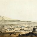
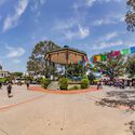
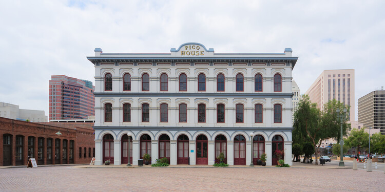
Today, the urban form of Los Angeles is characterized by 20th-century sprawl and extensive automotive infrastructure. However, the physical reality of the city's original core reveals a more complex history that is deeply rooted in Hispanic heritage. In fact, Los Angeles did not originate from the standardized American land system that defines most of the United States' territory. Instead, it is a product of the Spanish urban tradition in the Americas, which followed a structure repeated across major cities on the continent. The intersection of these systems created a layered urban geometry and history that remains visible in the city's contemporary street patterns.

When Los Angeles was founded in 1781 as a pueblo by Felipe de Neve, it was an outpost of the Viceroyalty of New Spain. Viceroyalties were political divisions of the Spanish territories in America, and by the late 18th century, New Spain was vast. It stretched from southern Costa Rica, all the way north to Alta California, bordering the east at the Mississippi River and the newly independent United States of America. At this time, Mexico City functioned as the primary administrative and economic hub, leaving frontier regions like Alta California to rely on a specific triad of settlements: missions (religious), presidios (military), and pueblos (civilian).

El Pueblo de Los Angeles: The Spanish Origins of LA’s Urban Grid - Imagem 1 de 4El Pueblo de Los Angeles: The Spanish Origins of LA’s Urban Grid - Imagem 2 de 4El Pueblo de Los Angeles: The Spanish Origins of LA’s Urban Grid - Imagem 3 de 4El Pueblo de Los Angeles: The Spanish Origins of LA’s Urban Grid - Imagem 4 de 4El Pueblo de Los Angeles: The Spanish Origins of LA’s Urban Grid - More Images+ 5

From Data to Digital Twins: Japan’s PLATEAU Project Offers Open-Access Models of More Than 250 Cities

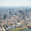
"Map the New World" is the motto of Project PLATEAU, led by Japan's Ministry of Land, Infrastructure, Transport and Tourism (MLIT), to develop and expand access to 3D models representing the diversity of cities across the country. Japan comprises a total of 744 cities, including 14 with populations exceeding one million, 190 with between 100,000 and one million inhabitants, and 540 with populations between 10,000 and 100,000. To date, 3D models of more than 250 cities have been made available as open data through the country's public G-Spatial Information Center, and can also be accessed via an online browser viewer. According to public authorities, the project aims to strengthen urban resilience by providing society with new tools to address local challenges. This involves not only urban space modeling but also collaboration with local governments, private companies, and technology communities. The project also includes a digital reconstruction of the recently closed Osaka World Expo site.

From Data to Digital Twins: Japan’s PLATEAU Project Offers Open-Access Models of More Than 250 Cities - Image 1 of 4From Data to Digital Twins: Japan’s PLATEAU Project Offers Open-Access Models of More Than 250 Cities - Image 2 of 4From Data to Digital Twins: Japan’s PLATEAU Project Offers Open-Access Models of More Than 250 Cities - Image 3 of 4From Data to Digital Twins: Japan’s PLATEAU Project Offers Open-Access Models of More Than 250 Cities - Image 4 of 4From Data to Digital Twins: Japan’s PLATEAU Project Offers Open-Access Models of More Than 250 Cities - More Images+ 1

Cities of the Dead: 10 Projects Exploring Burial Architecture

Subscriber Access | 

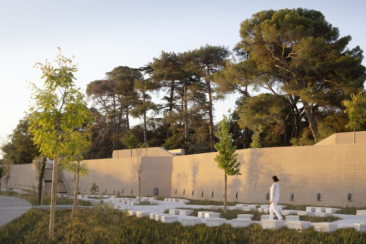
Death is a certainty, but its architecture has never been stable. Every period and culture has invented a different way of placing the dead in the world (close or far, visible or screened, monumental or almost anonymous), and those choices have always carried social and political weight. Cemeteries are where that weight becomes legible in space, turning belief and regulation into boundaries, paths, and names.

In that sense, a cemetery behaves like a piece of city-making. It needs access, limits, and an internal order that can grow without losing clarity. It depends on ground and water management as much as on symbolism, and on administration as much as on form. But its real architectural problem is how to make a large, evolving territory readable while preserving the intimacy of a visit. Names must be locatable; routes must remain legible; trees grow, paths shift, stones weather, records accumulate. What looks fixed is, in practice, a living system designed to be used and revisited, long after the first grief has passed.

Cities of the Dead: 10 Projects Exploring Burial Architecture - 1 的图像 4Cities of the Dead: 10 Projects Exploring Burial Architecture - 2 的图像 4Cities of the Dead: 10 Projects Exploring Burial Architecture - 3 的图像 4Cities of the Dead: 10 Projects Exploring Burial Architecture - 4 的图像 4Cities of the Dead: 10 Projects Exploring Burial Architecture - More Images+ 14

The Line at a Crossroads: Revisiting NEOM's Vision for a Utopian City

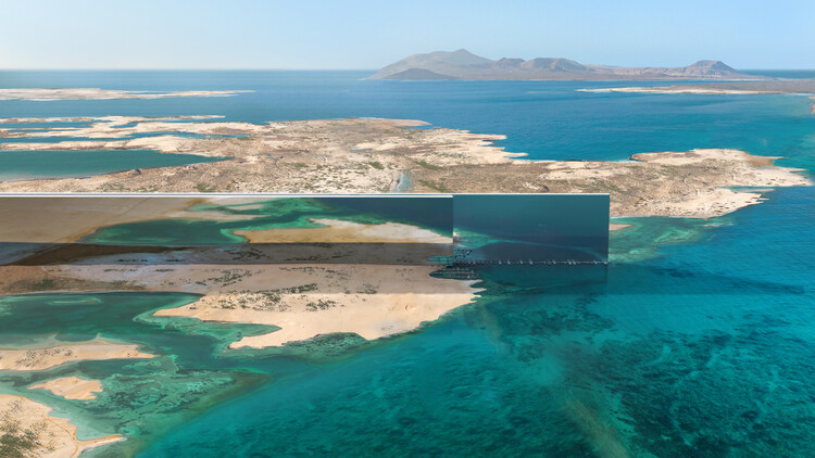
In 2023, ArchDaily's editor-in-chief sat down with Tarek Qaddumi, Executive Director of the Line Design at NEOM, at the closing of the Line Exhibition in Riyadh. Qaddumi described a layered, three-dimensional city organized around the idea of a "five-minute sphere" of access: walkable communities stacked vertically, connected by high-speed rail, freed from cars and conventional street infrastructure, and designed to coexist symbiotically with the surrounding natural landscape. It was a compelling vision, and in the context of the moment, it was simultaneously credible and appealing. For architects and urban thinkers grappling with the failures of twentieth-century city-building, the ideas articulated were worth engaging and planning.

The Line at a Crossroads: Revisiting NEOM's Vision for a Utopian City - Image 1 of 4The Line at a Crossroads: Revisiting NEOM's Vision for a Utopian City - Image 2 of 4The Line at a Crossroads: Revisiting NEOM's Vision for a Utopian City - Image 3 of 4The Line at a Crossroads: Revisiting NEOM's Vision for a Utopian City - Image 4 of 4The Line at a Crossroads: Revisiting NEOM's Vision for a Utopian City - More Images+ 5

Unearthing the Ground: Architecture and the Politics of Oil

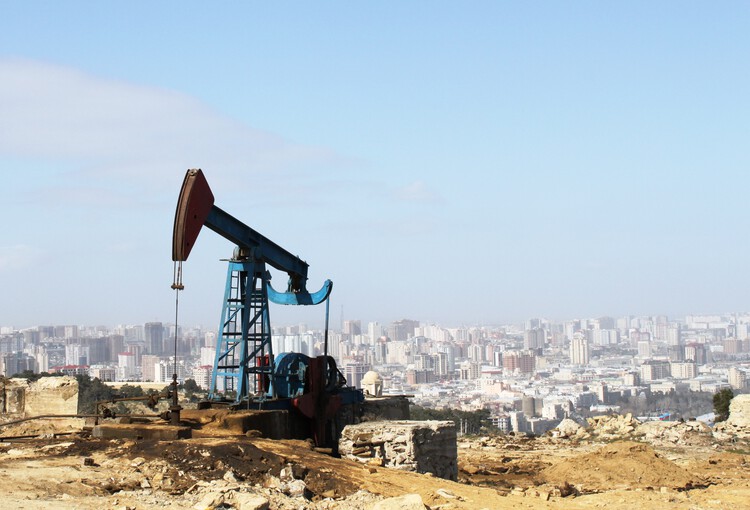
Beneath the ground lies a material that has quietly shaped the architecture of the modern world. Petroleum is rarely discussed within architectural discourse, yet the extraction, circulation, and consumption of oil have profoundly reorganized the spatial logic of territories. Pipelines, refineries, drilling platforms, ports, highways, and petrochemical complexes form a vast infrastructural landscape that sustains contemporary life, composing a dispersed architecture of energy.

Throughout the twentieth and twenty-first centuries, oil became the material foundation of industrial society. It fueled transportation, powered factories, and supported the growth of cities whose spatial organisation depended on continuous energy flows. Yet the infrastructures that enable these flows rarely become objects of architectural inquiry. Attention remains largely directed toward form, typology, or urban density, while the material systems that sustain these environments tend to remain displaced within the discipline.

Unearthing the Ground: Architecture and the Politics of Oil - Image 1 of 4Unearthing the Ground: Architecture and the Politics of Oil - Image 2 of 4Unearthing the Ground: Architecture and the Politics of Oil - Image 3 of 4Unearthing the Ground: Architecture and the Politics of Oil - Image 4 of 4Unearthing the Ground: Architecture and the Politics of Oil - More Images+ 15

Architects Office Designs World Trade Center Biotic Mixed-Use Complex in Brasília’s Parque Tecnológico

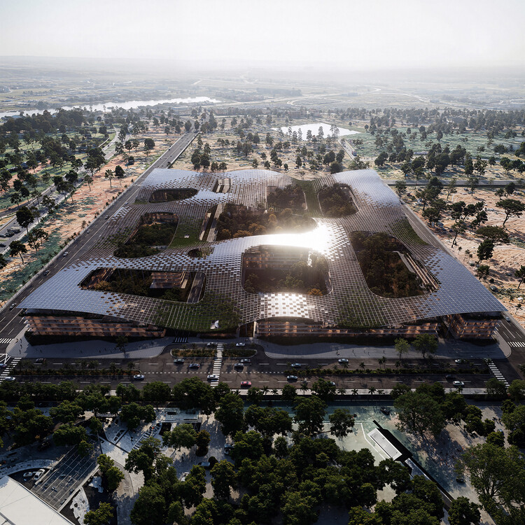
Located within the Parque Tecnológico de Brasília, the World Trade Center Biotic is a mixed-use development designed by Brazilian studio Architects Office as part of the district's broader urban expansion. The project is part of the master plan developed in 2020 by Carlo Ratti Associati and is currently being developed. Conceived as a multi-program complex, the proposal brings together offices, residential units, a hotel, retail spaces, and shared facilities within a single urban framework. The project occupies a site of approximately 70,000 square meters and is planned to reach about 180,000 square meters of built area, with an estimated 150,000 square meters expected to be completed by 2030.

Architects Office Designs World Trade Center Biotic Mixed-Use Complex in Brasília’s Parque Tecnológico - Image 1 of 4Architects Office Designs World Trade Center Biotic Mixed-Use Complex in Brasília’s Parque Tecnológico - Image 2 of 4Architects Office Designs World Trade Center Biotic Mixed-Use Complex in Brasília’s Parque Tecnológico - Image 3 of 4Architects Office Designs World Trade Center Biotic Mixed-Use Complex in Brasília’s Parque Tecnológico - Image 4 of 4Architects Office Designs World Trade Center Biotic Mixed-Use Complex in Brasília’s Parque Tecnológico - More Images+ 8

Mobility Justice: Urban Equity in an Era of Innovation

Subscriber Access | 

Every city contains two transportation systems. One is the visible network of roads, rail lines, sidewalks, and bus routes mapped in planning documents. The other is the invisible geography of privilege and exclusion embedded within it: the neighborhoods that received highways instead of parks, the communities whose bus routes were cut, the sidewalks that abruptly end at the edge of a district. For many years, built-environment professionals have treated infrastructure as a technical challenge. Mobility justice insists it is, fundamentally, a political one.
Mobility Justice: Urban Equity in an Era of Innovation - Imagen 1 de 4Mobility Justice: Urban Equity in an Era of Innovation - Imagen 2 de 4Mobility Justice: Urban Equity in an Era of Innovation - Imagen 3 de 4Mobility Justice: Urban Equity in an Era of Innovation - Imagen 4 de 4Mobility Justice: Urban Equity in an Era of Innovation - More Images+ 25

Setbacks as Courtyards: How Civil Architecture Reimagines the Gulf House in Bahrain

For centuries, domestic architecture throughout the Gulf has been organized around the courtyard. Houses presented thick exterior walls and limited openings to the street, turning inward toward a shaded garden that structured everyday life. This spatial arrangement responded to both climate and culture. The courtyard brought daylight into deep plans, enabled cross-ventilation, and provided a protected outdoor environment within dense urban fabrics. In the House with Seven Gardens, in Diyar Al Muharraq, Bahrain, the Bahrain-based practice Civil Architecture, one of the winners of the ArchDaily 2025 Next Practices Awards, revisits this spatial tradition through the conditions of contemporary suburban housing. Rather than reproducing the courtyard house as a historical model, the project reinterprets its environmental logic within the regulatory frameworks and spatial conditions that shape much of today's urban development in the Gulf.

Setbacks as Courtyards: How Civil Architecture Reimagines the Gulf House in Bahrain - Image 1 of 4Setbacks as Courtyards: How Civil Architecture Reimagines the Gulf House in Bahrain - Image 2 of 4Setbacks as Courtyards: How Civil Architecture Reimagines the Gulf House in Bahrain - Image 3 of 4Setbacks as Courtyards: How Civil Architecture Reimagines the Gulf House in Bahrain - Image 4 of 4Setbacks as Courtyards: How Civil Architecture Reimagines the Gulf House in Bahrain - More Images+ 3

Health, Habitat, and Civic Infrastructure: Designing the City as a National Park

Subscriber Access | 

Cities around the world share a common goal: to become healthier and greener, supported by civic infrastructure that restores ecosystems and strengthens public life. The question is how to reach this. Global climate targets, local building codes, and municipal standards increasingly guide designers and planners toward better choices. Still, many cities struggle to translate these frameworks into everyday, street-level comfort and long-term ecological protection. What happens if the city is no longer treated as a traditional city, but as a national park?

National parks operate through systems of protection that treat land as a network of ecological relationships rather than a collection of isolated sites. They establish a shared baseline for what must be preserved, maintained, and made accessible over time. When this logic is applied to the urban environment, success can inspire pride and a sense of shared responsibility among designers, policymakers, and residents, fostering a collective commitment to health, habitat, and civic infrastructure.

Health, Habitat, and Civic Infrastructure: Designing the City as a National Park - Image 1 of 4Health, Habitat, and Civic Infrastructure: Designing the City as a National Park - Image 2 of 4Health, Habitat, and Civic Infrastructure: Designing the City as a National Park - Image 3 of 4Health, Habitat, and Civic Infrastructure: Designing the City as a National Park - Image 4 of 4Health, Habitat, and Civic Infrastructure: Designing the City as a National Park - More Images+ 13

Free Webinar: What Placemakers Need to Unlearn — Why Regenerative Places Demand a Different Mindset

Regenerative placemaking is an approach to shaping places that prioritises long-term social, cultural and environmental health, not just short-term activation, footfall or commercial performance. It looks at how places can continue to give back to the people and communities who use them over time, rather than extracting value and moving on.

Moving Capitals Across Global Contexts: From Strategic Planning to Environmental Necessity

Across history, the relocation of capital cities has often been associated with moments of political rupture, regime change, or symbolic nation-building. From Brasília to Islamabad, new capitals were frequently conceived as instruments of centralized power, territorial control, or ideological projection. In recent decades, however, a different set of drivers has begun to shape these decisions. Rather than security or representation alone, contemporary capital relocations are increasingly tied to structural pressures such as demographic concentration, infrastructural saturation, environmental risk, and long-term resource management. As metropolitan regions expand beyond their capacity to sustain population growth and administrative functions, governments are turning to spatial reconfiguration as a means of addressing systemic urban imbalance.

Moving Capitals Across Global Contexts: From Strategic Planning to Environmental Necessity - 1 的图像 4Moving Capitals Across Global Contexts: From Strategic Planning to Environmental Necessity - 2 的图像 4Moving Capitals Across Global Contexts: From Strategic Planning to Environmental Necessity - 3 的图像 4Moving Capitals Across Global Contexts: From Strategic Planning to Environmental Necessity - 4 的图像 4Moving Capitals Across Global Contexts: From Strategic Planning to Environmental Necessity - More Images+ 3

How Cities Design Public Life in the Shade

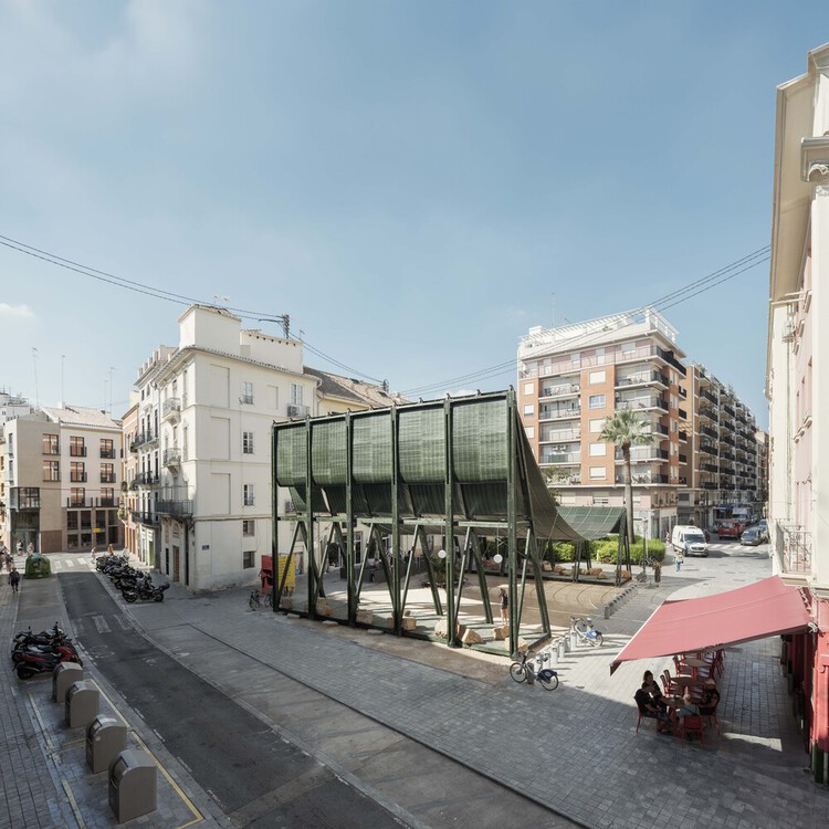
Cities are warming at roughly twice the global rate, a trend accelerated by rapid urbanization. While rising temperatures are reshaping daily life worldwide, some towns and neighborhoods, often the most vulnerable and least resourced, are warming more than others. The reason comes down to the urban environment. Built infrastructure, such as roads, buildings, sidewalks, and public spaces, determines how heat moves through a city, where it accumulates, and how long it remains trapped. No matter the climate zone or geographical location, shade remains the most effective and immediate way to cool pedestrians and relieve the built environment.

How Cities Design Public Life in the Shade - 1 的图像 4How Cities Design Public Life in the Shade - 2 的图像 4How Cities Design Public Life in the Shade - 3 的图像 4How Cities Design Public Life in the Shade - 4 的图像 4How Cities Design Public Life in the Shade - More Images+ 15

Security as Script: Inside the Architecture of Gated Living

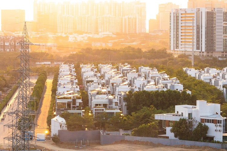
You learn how to behave long before you arrive home. At the gate, you slow down and wait. You are watched, then waved through. A badge is checked, a barrier lifts, a camera blinks. Nothing dramatic happens, and that is precisely the point. The most consequential work of gated communities is not done by their walls, but by the choreography of entry that quietly teaches residents what to expect, whom to trust, and where they belong.

Security as Script: Inside the Architecture of Gated Living - Image 1 of 4Security as Script: Inside the Architecture of Gated Living - Image 2 of 4Security as Script: Inside the Architecture of Gated Living - Image 3 of 4Security as Script: Inside the Architecture of Gated Living - Image 4 of 4Security as Script: Inside the Architecture of Gated Living - More Images+ 2

What Informality and Incrementality Reveal About Sustainable Urbanism in India

Subscriber Access | 

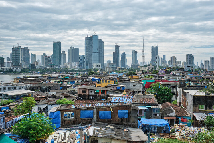
The magic of Indian architecture lies in an invisible order amidst visceral chaos. When an uncertain future knocks on the doors of local practitioners, one might begin to look within the four walls they occupy to discover an opportunity for reinterpretation.

Mumbai, Delhi, Bengaluru, and other major metropolises are described as needing massive housing solutions for millions. The instinctive answer is predictable — masterplans, dense towers, and standardized units smeared over haphazard developments. The lexicon misses a deeper truth about how the people already live, work, and build in India. The shorthand used in policy and planning — slum, informal settlement, unauthorized colony — implies a temporary state to be corrected. A designer's eye views these places as layered urban histories, formed through necessity.

What Informality and Incrementality Reveal About Sustainable Urbanism in India - Imagen 1 de 4What Informality and Incrementality Reveal About Sustainable Urbanism in India - Imagen 2 de 4What Informality and Incrementality Reveal About Sustainable Urbanism in India - Imagen 3 de 4What Informality and Incrementality Reveal About Sustainable Urbanism in India - Imagen 4 de 4What Informality and Incrementality Reveal About Sustainable Urbanism in India - More Images+ 1

Unearthing the Ground: Architecture and the Politics of the Subterranean

Subscriber Access | 

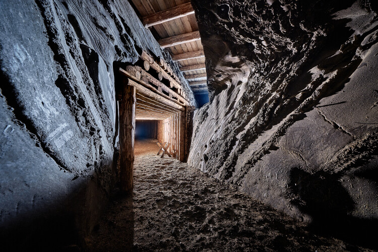
Beneath the visible surface of cities lies an invisible architecture. Subways, tunnels, water systems, data cables, and bunkers form a dense network that sustains urban life while remaining largely unseen. The ground beneath our feet is not a void but a complex territory that holds the infrastructures, memories, and anxieties of our age. In recent years, as land becomes scarce and climate pressures intensify, architects and urbanists have turned their gaze downward, rediscovering the subterranean as both a physical and conceptual frontier. To design underground is to engage with the unseen mechanisms that shape the world above.

The subterranean has long been a site where architecture intersects with politics, technology, and belief. From the catacombs of Rome to the industrial subways of modernity, descent has symbolized both protection and exposure. Twentieth-century urbanism transformed this gesture into a system: metros, shelters, and utilities redefined the city section as an instrument of governance. Beneath the promise of efficiency and progress, the underground absorbed the anxieties of an era of war, surveillance, and collapse. Its evolution reveals not only how societies build, but also how they fear.

Today, the ground has become the new frontier of urban expansion and ecological adaptation. As digital infrastructures, energy systems, and climatic buffers migrate below grade, architecture confronts a space both technical and metaphysical — essential yet marginal, invisible yet decisive. To think in sections rather than in plan is to recognise that contemporary cities no longer exist solely in their skylines but also in their depths. The challenge for architecture is not only to occupy that space, but to render it legible, to turn the unseen into knowledge, and the hidden into a new terrain of design.

Unearthing the Ground: Architecture and the Politics of the Subterranean - Image 1 of 4Unearthing the Ground: Architecture and the Politics of the Subterranean - Image 2 of 4Unearthing the Ground: Architecture and the Politics of the Subterranean - Image 3 of 4Unearthing the Ground: Architecture and the Politics of the Subterranean - Image 4 of 4Unearthing the Ground: Architecture and the Politics of the Subterranean - More Images+ 36

EU Mies Awards Shortlist and MVRDV’s Fluid Facade in Beijing: This Week’s Review

Spanning multiple geographies and scales, this week's architecture news reflects ongoing discussions around long-term planning, institutional frameworks, and the public role of architecture. National-scale urban initiatives and large civic developments point to how planning and infrastructure are being used to reorganize cities and territorial systems, while parallel attention to stadiums, cultural facilities, and mixed-use projects highlights the expanding civic ambitions of large-scale architecture. Alongside these, interviews and heritage-focused projects foreground participatory practices and the careful reuse of existing structures, highlighting architecture's capacity to operate within complex social and political conditions. Recognition platforms and professional programs further situate these practices within a broader architectural discourse, offering insight into how contemporary work is evaluated and shared across regions.

EU Mies Awards Shortlist and MVRDV’s Fluid Facade in Beijing: This Week’s Review - Image 1 of 4EU Mies Awards Shortlist and MVRDV’s Fluid Facade in Beijing: This Week’s Review - Image 2 of 4EU Mies Awards Shortlist and MVRDV’s Fluid Facade in Beijing: This Week’s Review - Image 3 of 4EU Mies Awards Shortlist and MVRDV’s Fluid Facade in Beijing: This Week’s Review - Image 4 of 4EU Mies Awards Shortlist and MVRDV’s Fluid Facade in Beijing: This Week’s Review - More Images+ 8

Saving the City Fabric: Blanche Lemco van Ginkel and the Preservation of Old Montreal

Subscriber Access | 

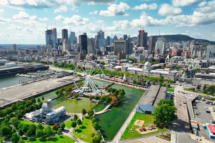
The architectural history of North American cities in the 20th century is often characterized by the pursuit of urban renewal. In the United States, Boston, Portland, and San Francisco are just some examples of when municipal governments prioritized high-speed vehicular infrastructure over the existing urban fabric. In Canada, Montreal would have followed this trajectory if not for the intervention of several figures throughout its history, most notably Blanche Lemco van Ginkel (1923–2022). A Harvard-trained planner and architect who, along with her husband Sandy Van Ginkel, advocated for the preservation of urban heritage while applying the principles of modernist infrastructure.

Saving the City Fabric: Blanche Lemco van Ginkel and the Preservation of Old Montreal - Image 1 of 4Saving the City Fabric: Blanche Lemco van Ginkel and the Preservation of Old Montreal - Image 5 of 4Saving the City Fabric: Blanche Lemco van Ginkel and the Preservation of Old Montreal - Image 2 of 4Saving the City Fabric: Blanche Lemco van Ginkel and the Preservation of Old Montreal - Image 3 of 4Saving the City Fabric: Blanche Lemco van Ginkel and the Preservation of Old Montreal - More Images+ 1